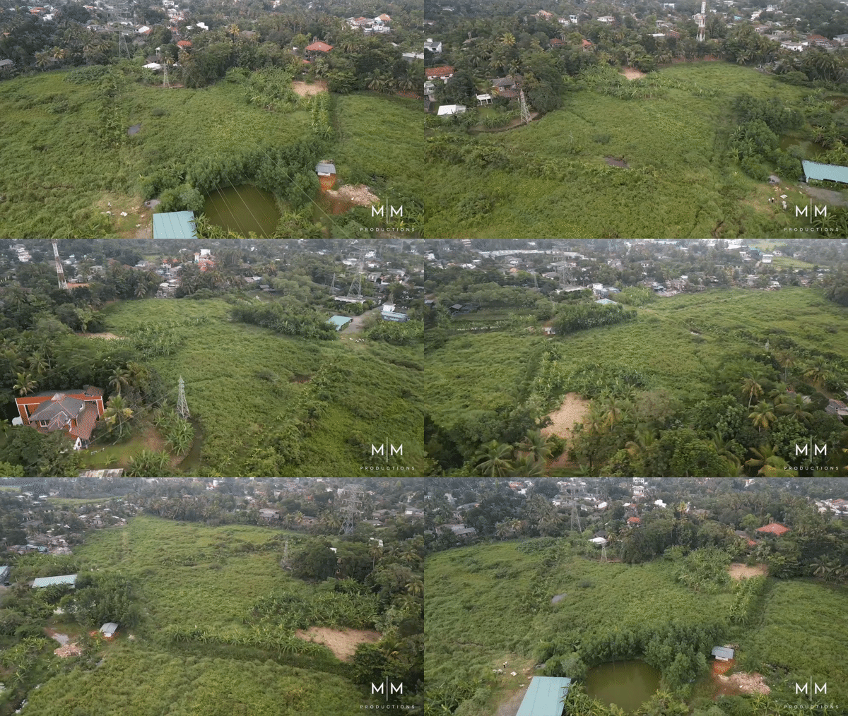
Aerial Mapping Services
The primary objective of our aerial mapping services is to create accurate, up-to-date maps and 3D models of the Earth’s surface and its features. These maps and models can be used for a variety of applications, including:

- Aerial maps and 3D models can help city planners and developers make informed decisions about land use, zoning, and infrastructure development.
- Environmental monitoring and management: Aerial mapping services can help monitor changes to the Earth’s surface, such as deforestation, urban sprawl, and coastal erosion.
- Agriculture: Aerial mapping can help farmers optimize crop yields, manage irrigation systems, and monitor crop health.
- Disaster response: Aerial mapping can help emergency responders quickly assess the extent of damage after natural disasters, such as hurricanes, earthquakes, and wildfires.
- Mining: Aerial mapping can help mining companies evaluate potential mineral deposits and monitor the environmental impact of their operations.
Features:
-
- High-resolution aerial images and data
- 3D modeling capabilities
- Real-time mapping and data analysis
- Versatile aerial platforms, including drones, aircraft, and satellites
Benefits
-
- Improved accuracy and up-to-date information for urban planning and development
- Enhanced environmental monitoring and management
- Improved crop management and optimization for agriculture
- Faster disaster response and assessment of damage
- Better understanding of potential mineral deposits for the mining industry
Aerial mapping services use a variety of technologies and techniques to capture data and images. For example, drones equipped with high-resolution cameras and laser scanners can fly over an area to capture high-resolution images and data. The data captured by aerial platforms is then processed and analyzed to create maps and models.
Our aerial mapping services play a critical role in many industries, providing valuable insights into the Earth’s surface and its features. Whether used for urban planning, environmental monitoring, or disaster response, aerial mapping services help organizations make informed decisions and improve their operations.
Let's Work Together
Get in touch with Mobily - a Drone photography and videography business - to discuss your project needs.